


Although more isolated than yesterday, a few folks will draw winning Wattery tickets this afternoon and evening. Brief heavy rain + lightning possible.
Much higher rain chances exist Sunday + Monday.
18z HRRR model (above) shows chances for showers/storms getting going early Sunday morning, continuing throughout the day. Any storm could contain lightning, heavy rain + gusty winds.
Our severe weather threat is very low. However, heavy rain leading to localized flooding will be a concern – especially in low-lying and poor drainage areas.
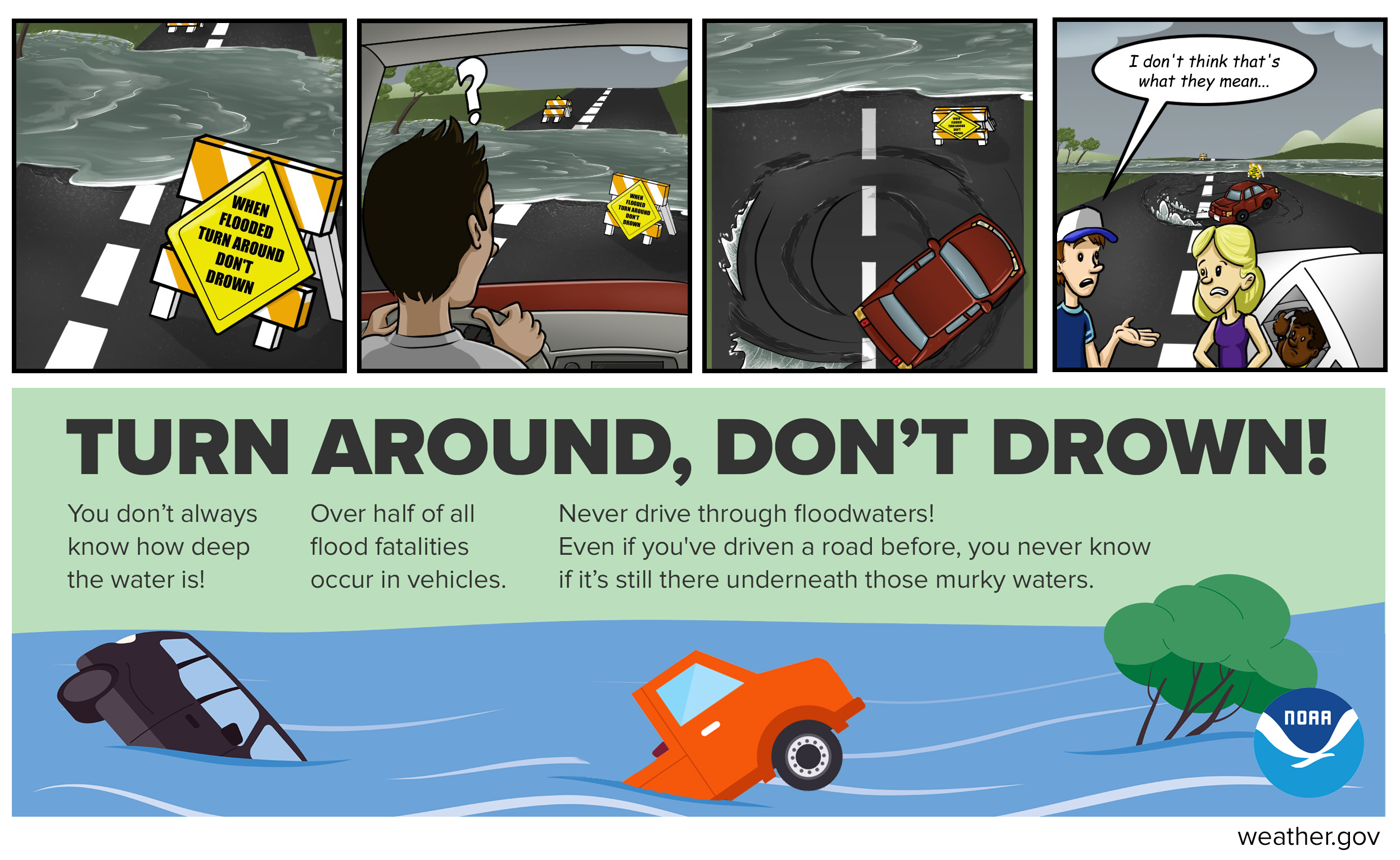
If you happen to come across a flooded roadway – turn around, don’t drown.
Monday think most of the heavier rain will be to our east, but showers/storms will still be possible throughout the day. Localized flooding will again be possible – especially in places that received heavier rainfall on Sunday. A couple of storms could contain some gusty winds but are expected to stay below severe limits.
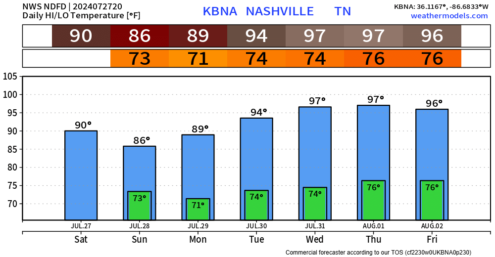
Starting Tuesday, rain chances will calm down a bit – but still will exist, more so in the afternoon and evening.
Also starting Tuesday, heat. Gross temp + dewpoint combo may send heat index values above Heat Advisory criteria (105°+) a day or two. We shall see.
 Log In To Facebook To Comment