

The low but nonzero chance of a strong to severe thunderstorm Wednesday continues to exist.
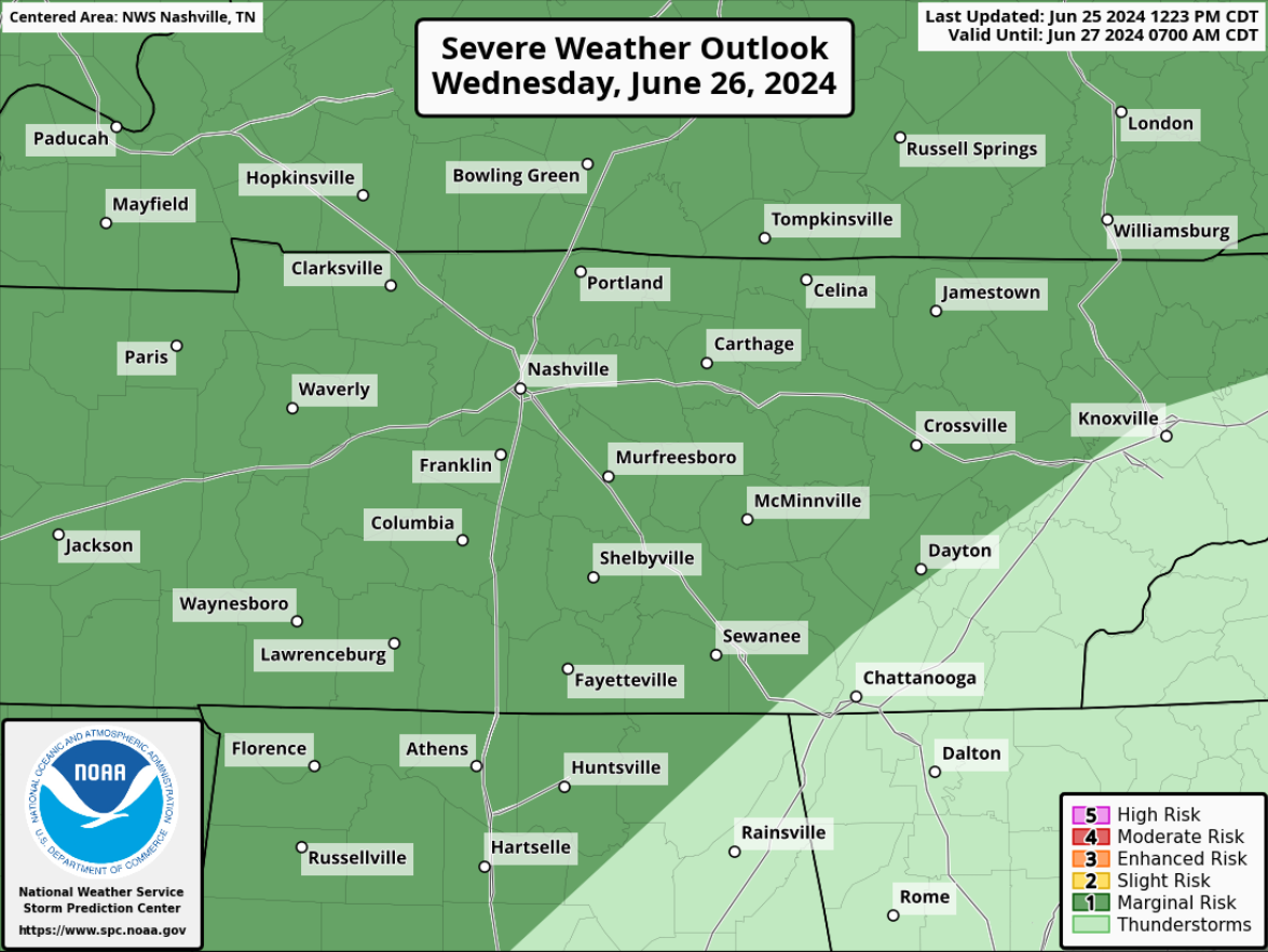
The Storm Predicition Center still has both of our counties highlighted in a 5% chance of severe weather within 25 miles.
Timing:
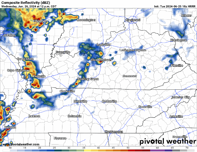
The HRRR model thinks scattered showers + storms will be possible during the afternoon and evening hours. It’s hard to try to nail down any specific ETAs due to the scattered nature of the storms.
Our main concerns will be damaging straight-line winds, possibly from a microburst. We are not worried about tornadoes.
If you have outdoor plans tomorrow, be sure to keep an eye on the radar – any storm will be capable of heavy rain and lots o’ lightning.
Maybe a few showers left over Thursday morning, but most activity will be outta here. Speaking of, Thursday will by far be our “coolest” day of the forecast. High temp 89°.
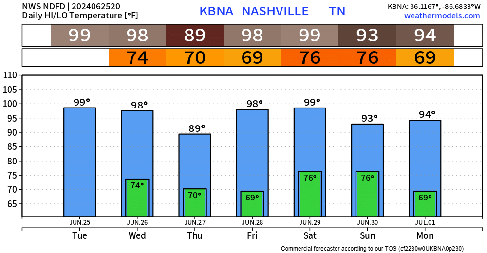
We may need a Heat Advisory Friday and Saturday. Upper 90s + dewpoints in the low 70s = heat index (aka “feels like” temp) around 105°.
Rain chances creep back into the forecast Saturday, especially by Sunday.
Categories: Featured Blog