


Today we deal with a complex, low probability of a high impact event. A lot of updates to the forecast will be possible today, so staying connected will be important today!
Round One – Now until Afternoon
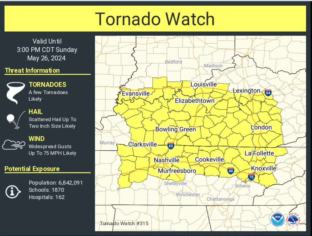
A Tornado Watch was just issued including both of our counties (Davidson and Williamson) until 3pm.
This is to account for our first round of severe weather, possible now thru the afternoon.
As of 10am, there is an ongoing line of severe storms affecting the northern portion of Davidson Co. We are tweeting updates as needed on X/Twitter.
Additional storms apart of “round one” are possible this afternoon. IF storms are able to form, they will have the potential to be severe. As of right now, most models show very little to no activity this afternoon. This is a good sign, but far away from a guarantee.
Round Two – This Evening into Overnight
There is greater confidence in round two, expected to impact our area after dark. The current Tornado Watch goes until 3pm, but an additional watch may be needed later.
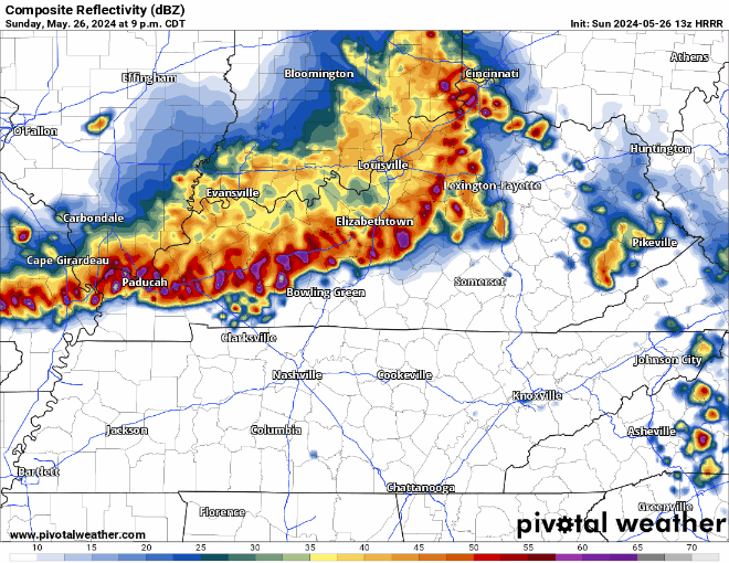
HRRR model shows a sagging line of potentially severe storms arriving around 11pm to midnight tonight, timing subject to change! The main threat will be damaging straight-line winds, but hail and a tornado cannot be ruled out. In addition to the severe threat, there is a chance for flash flooding. Flash flooding will especially be dangerous after dark, if you encounter a flooded roadway, turn around, don’t drown.
With the possibility of severe weather well after sunset, have a way to wake up if a warning is issued for you! (NOAA Weather Radio, Wireless Emergency Alerts on your phone, wake-me-up app)
A lot of changes are possible to the forecast today. It’ll be important to stay connected throughout the day. We’ll be tweeting on X all day, and will have another blog by this afternoon.
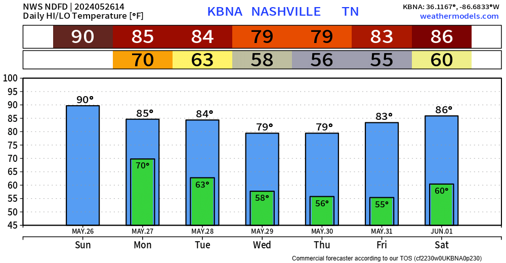
We should be dry by sunrise Monday and be left with a couple of dry and warm days.
 Log In To Facebook To Comment