


Another 90° day, but thankfully no rain chances to deal with.
Our weather picks up tomorrow, with a low-end chance of severe weather Wednesday evening.
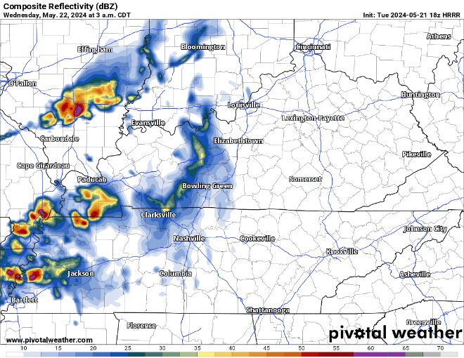
Some showers will be around Wednesday morning, these will be no big deal and should be out of here before lunch.
Our low-end chance of severe weather comes into play Wednesday evening, when a line of storms moves in from the northwest.
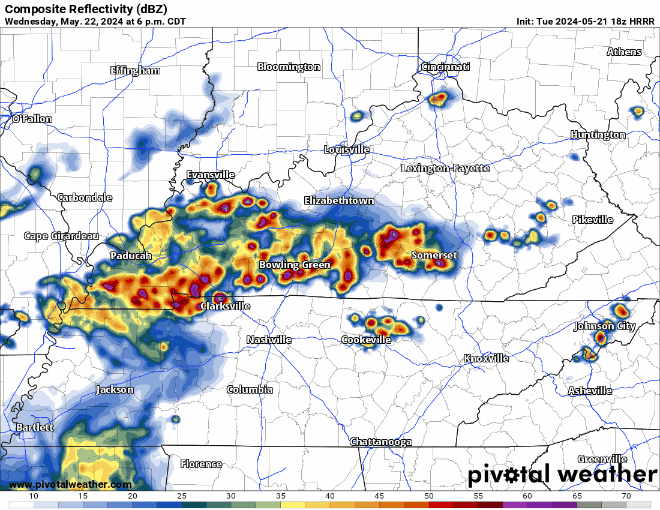
The HRRR model has an ETA of roughly 7 or 8 pm tomorrow, but this could change! This is just one run of one model. The Storm Predicition Center has us outlooked with a 5% chance of damaging straight-line winds and/or hail within 25 miles. We are not included in any probabilities for tornadoes. As always, we’ll be tweeting as needed and will go live on our YouTube channel if either portion of our county is included in a warning.
Wednesday is just the beginning of our active stretch of weather.
“Each of the next several days will present thunderstorm chances, as we talked about yesterday. What’s different is, now a few of the days are standing out as having severe threats. At this time, if I had to pick 3 of them, Friday, Sunday and Monday look like they’ll have the best chance…However I wouldn’t sleep on Thursday or Saturday, either.” – NWS Nashville
Right now, there is a lot of uncertainty about all this, especially with timing. It’ll be important to stay weather aware tomorrow thru Memorial Day. Details will be ironed out as the days go on. No need to be concerned, just be prepared.
 Log In To Facebook To Comment