


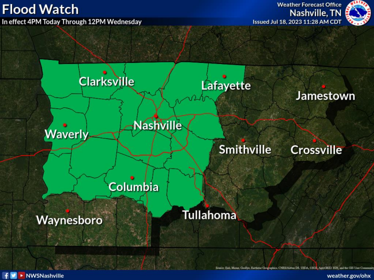
Both of our counties are under a Flood Watch until noon Wednesday.
“Many areas will exceed 2 inches of rainfall. The exact location are uncertain, but some sports could have torrential rainfall exceeding 5 inches causing significant flash flooding.”
Two inches of rainfall we can handle, the 5 inches + is where things get dangerous.
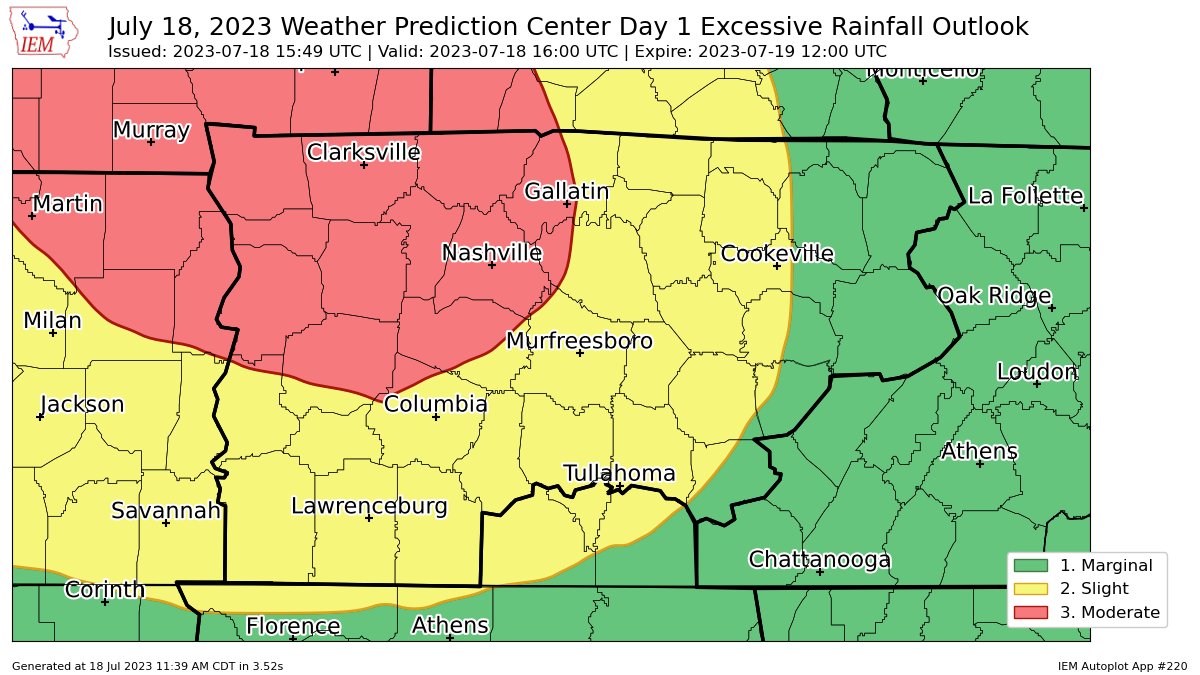
The Weather Prediction Center has outlooked the majority of our two counties with “at least 40%” of flash flooding within 25 miles.
Timing
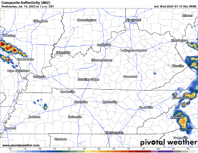
HRRR model (above) thinks training storms start around 2-3am and last thru Wednesday midday. Embedded in this line on top of the flash flooding threat, hail and damaging straight-line winds will be possible. SPC has us outlooked with a 5% chance of those hazards within 25 miles. No tornado concerns.
Impacts
Our main concern is where the corridor of significant rainfall ends up at. We don’t know, the models don’t know, but they have guesses.
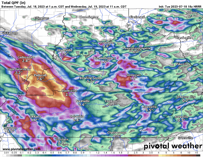
Here are four guesses from the HRRR model on rainfall totals. Generally, it thinks the significant rainfall of 5″+ will be positioned to our NW. This could be wrong. Wherever this corridor ends up, dangerous flash flooding will be possible.
It will be very important to stay connected tonight, especially if you live in a flood-prone area. There is a low probability of seeing significant flash flooding, but if you do, impacts could be particularly dangerous. Do not go to sleep tonight without having a way to wake up, wake-me-up app, weather radio, WEA alerts on your phone (make sure they are turned on!).
We’ll be Tweeting updates as needed.
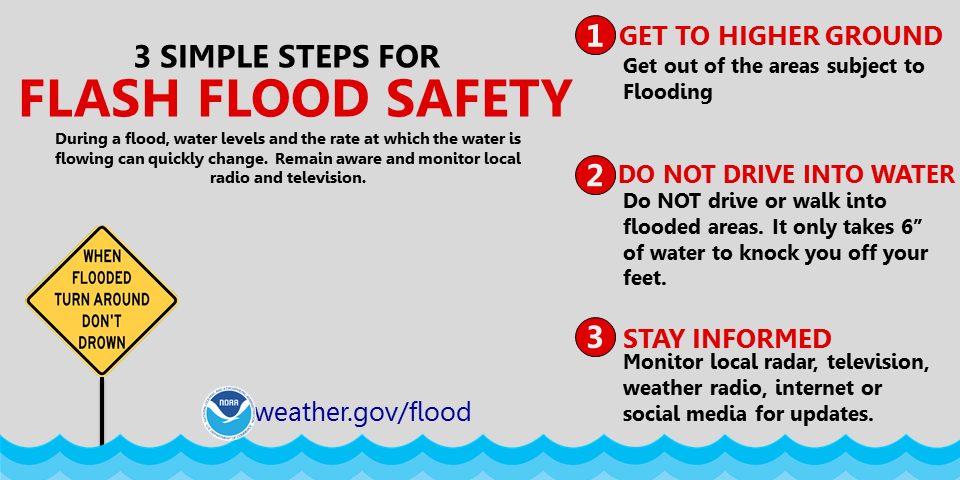
Turn around, don’t drown.
Quick References:
Weather changes constantly.
Follow @NashSevereWx on Twitter for any changes to this forecast.
Live coverage during tornado and severe thunderstorm warnings:

Look good.
Support the mission.

We are 100% community supported. No ads. No subscription fees. Keep it free for everyone.


 Log In To Facebook To Comment