


8 Vehicular Heatstroke Deaths So Far in 2020
The youngest victim was 10 months old.
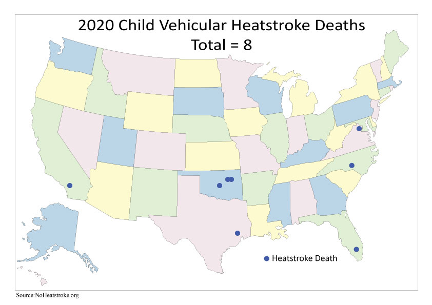
There have been over 800 deaths from vehicular heatstroke since 1998, and over half of those (54%) have been from kids under the age of 2.
It gets really hot really fast in your car, even if you leave the windows cracked. Before you get out, make sure to double check your backseat!
Editor’s Note: Most of these tragedies are accidents that happen to otherwise good parents. Don’t let it happen to you.
Thursday
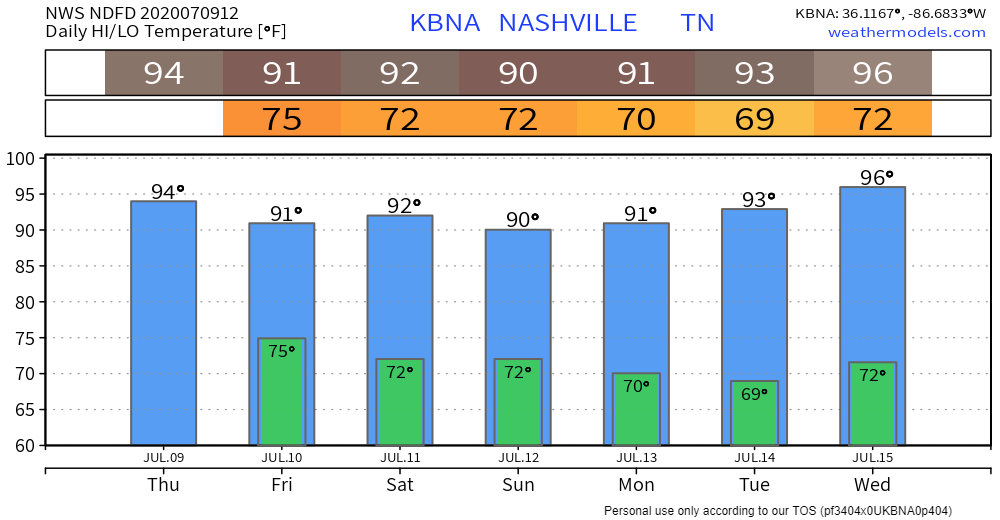
Oppressive humidity remains. Dewpoints near 73° signals a lot of moisture sitting on us. Add temps up to 94° and the heat index will hit the upper 90°s.
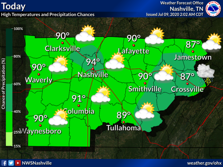
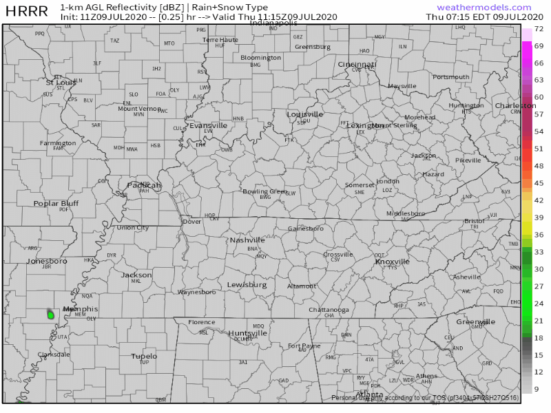
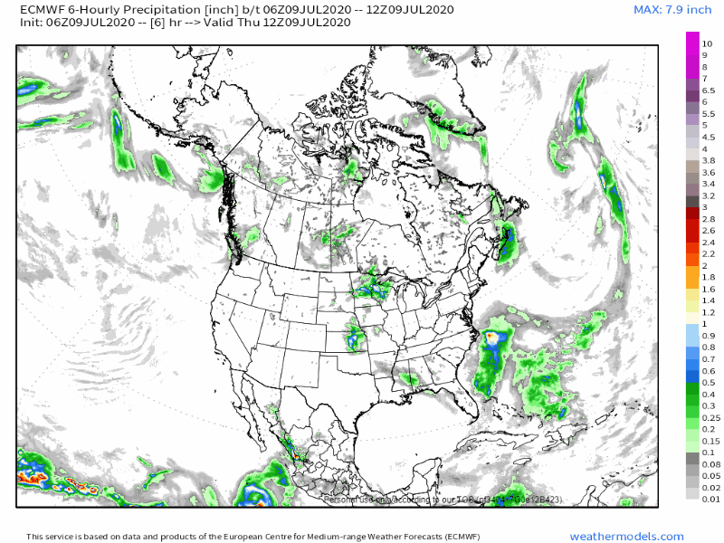
Heat will cause that wet air to rise, then gravity will take cover. Storms will scatter across the area, one may scatter on your head. Models think this rain chance will begin around 2 pm then out of the area a few hours after dark. Storms may arrive earlier. Yesterday models thought they’d begin around 2 pm but they started forming around noon.
Lightning is the main concern with storms today. A few may contain strong winds, like this downburst we saw yesterday near Lennox Village.
Some of us may get wet while others see nothing. Keep an eye on the radar if you have any outdoor plans this afternoon!
Storms Coming from the Northwest
Friday. A system out of the plains will go just south of us Friday. As that happens, it should more scattered storms than we’ve been seeing this week. Additional storm ingredients will be in place, so these may be a bit stronger than what we’ve seen this week.
The typical heavy rain and frequent lightning will still be there, but some stronger winds are possible. Why? More shear:
Shear will increase in response which could allow a couple storms to become strong to severe with damaging winds.
NWS-Nashville AM Forecast Discussion 7/9/20
Saturday seems to be a “drying out day,” although we cannot totally rule out a storm. Dew points will slightly dip into the mid to upper 60s. It will still be sticky outside, just not as bad as it has been. The heat index will drop into the low to mid 90s.
Sunday brings us another system out of the Dakotas. Models have not been as consistent on if this will hit us dead on or if it will drift just southwest of us.
This will be something to focus in on the next couple days. We could be looking at some more strong to severe storms, but it is still too early to pinpoint what locations will be impacted.
Once again with the increased shear and an amply unstable atmosphere, a couple storms could be strong to severe.
NWS-Nashville, Morning Forecast Discussion, 7/9/20
Make sure to watch for those future forecasts!
 Log In To Facebook To Comment