Couple of Shots of Rain Tonight & Tomorrow

Current Radar

Tonight – Few Showers and Storms Around, No Big Deal

Few showers have popped up, and more are possible as we move into the evening. Most of us won’t see anything.

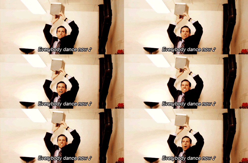
We don’t do much stupid stuff @NashSevereWx, but Sharknado is one of them. Sharknado 4 is tonight. As we said three years ago:

If you’re unfamiliar, Sharknado is one of those movies that’s so bad it’s fun. If you’re still on the fence about watching it, and you’re mature with a refined sense of humor, don’t watch. For everyone else, let’s revisit the Sharknado 3 viewing guide:

It starts at 7 PM. Sharknado is much more fun watching it live while following the #sharknado4 hashtag. If you DVR it, you’ll miss that social media collective experience thing. 7 PM, y’all.

Rain Late? Maybe.

NWS-Nashville wrote this afternoon that we:

Will need to keep an eye out up in Missouri as we go through the evening as a complex may try and make a run down through western Kentucky and possibly try and make it into northwest Middle Tennessee some time tonight possibly in the late night. read more

Hot, Humid, Probably Won’t Rain. Oh, and Sharknado 4.

Current Radar

Dry Sunday (Probably), High 91°

The chance of rain today is low. The reason isn’t exciting, so I’ll just show the HRRR model, below, which thinks a few showers/storms may pop up briefly by mid/late afternoon. Don’t alter any outdoor plans. read more

Spotty Shower Tonight, Seasonal Temperatures Returning

Current Radar

Tonight: Pop-up Shower, Otherwise Comfortable Temperatures – 9PM 80°

Available moisture will be backing off later this evening, allowing most storms to dissipate. A quick shower or two may sneak in, but chances aren’t too high. Temperatures will be comfortable in the 80s for the rest of the night. read more

Warm Temperatures Continue

Current Radar

Tonight: Scattered Storms Possible, Then Clearing – 9PM 81°

Afternoon storms will continue into the evening but after sunset, these should fall apart. Expect this evening to be a few degrees cooler than what we’ve seen recently!

*Update: Here’s how the HRRR plays out this evening. We should be in the clear given the radar, but the HRRR wants to throw some more showers at us. Pack a poncho just in case. read more

Flash Flood Watch Remains in Effect, Spotty Showers Tonight

Current Radar

Tonight: Cloudy, Maybe A Small Shower

Main line of showers has moved through and continued to move to the East. Have had some showers develop to our south, bu they appear to all be tracking away from our area, which is good news for those evening plans. read more

Rainy Outlook Over the Next Few Days

Current Radar

Tonight: Rain/Thunderstorms Continue

Showers and storms have already developed and will continue through the remainder of the afternoon into the evening hours. Lots of energy currently in our atmosphere which could help produce a few strong thunderstorms (wind and hail are the main concerns). read more

Evening Rain Ends, Better Storm Chances Wednesday Into Thursday

Current Radar

Tonight: Afternoon Rainers Dissipate – 9PM 83°

Any lingering afternoon storms will dutifully collapse and quickly fall apart at the approach of sunset. Temperatures will fall through the 80s into the upper 70s, so a nice night is in the bucket (beyond early evening rain chances) for a Nashville Sounds ballgame. read more

Heat Backing Off, Rain Chances Going Up

Current Radar

Tonight: Chance of Showers, Temps Fall Through the 80s into the Upper 70s

Rain chances tonight will greatly depend on when/if we see showers in the afternoon. If this squall line stays intact, we could see some early evening hour activity. If it does not, then we could see a few pop up afternoon showers that should dissipate as we head into the evening hours. read more

Rain Chances Increase

Current Radar

Rain Chances Increase This Week

Monday, High 94°  NWS Nashville says “rain chances will edge upward Monday and Tuesday as a weak surface boundary approaches from the north.”

“Edge upward” is the best part of this phrase. The HRRR parallel model shows nothing in the morning. The NAM4 doesn’t, either, and it keeps things pretty scattered in the afternoon. But, the global models have us getting some rain in the afternoon, but I don’t think everyone will get wet. Rain confidence is a bit higher now that there will be that surface boundary close by. NWS likes our rain chances and has us down for 0.17″ of rain. read more

Why I’m Not Impressed by the End of the Heat Advisory

Current Radar

Sunday – Hot & Very Humid, Storms Iffy – High Temp 94°

Our Heat Advisory has been dropped because, when we hit our high 94°, the dewpoint should be “only” 72°, which makes a heat index of 102°. You need 105° to issue a Heat Advisory. read more